| Indicator description |
The indicator shows the area and share of the territory of Bosnia and Herzegovina affected by drought. The data are based on an assessment of drought impacts on vegetation productivity, using satellite observations of vegetation conditions and soil moisture deficits during the growing season. |
|---|---|
| Data source and methodology |
The indicator provides information on the spatial extent of drought impacts on ecosystems. It is important for monitoring the effects of climate variability and climate change, assessing ecosystem vulnerability and planning drought adaptation measures. |
| Coverage and comparability |
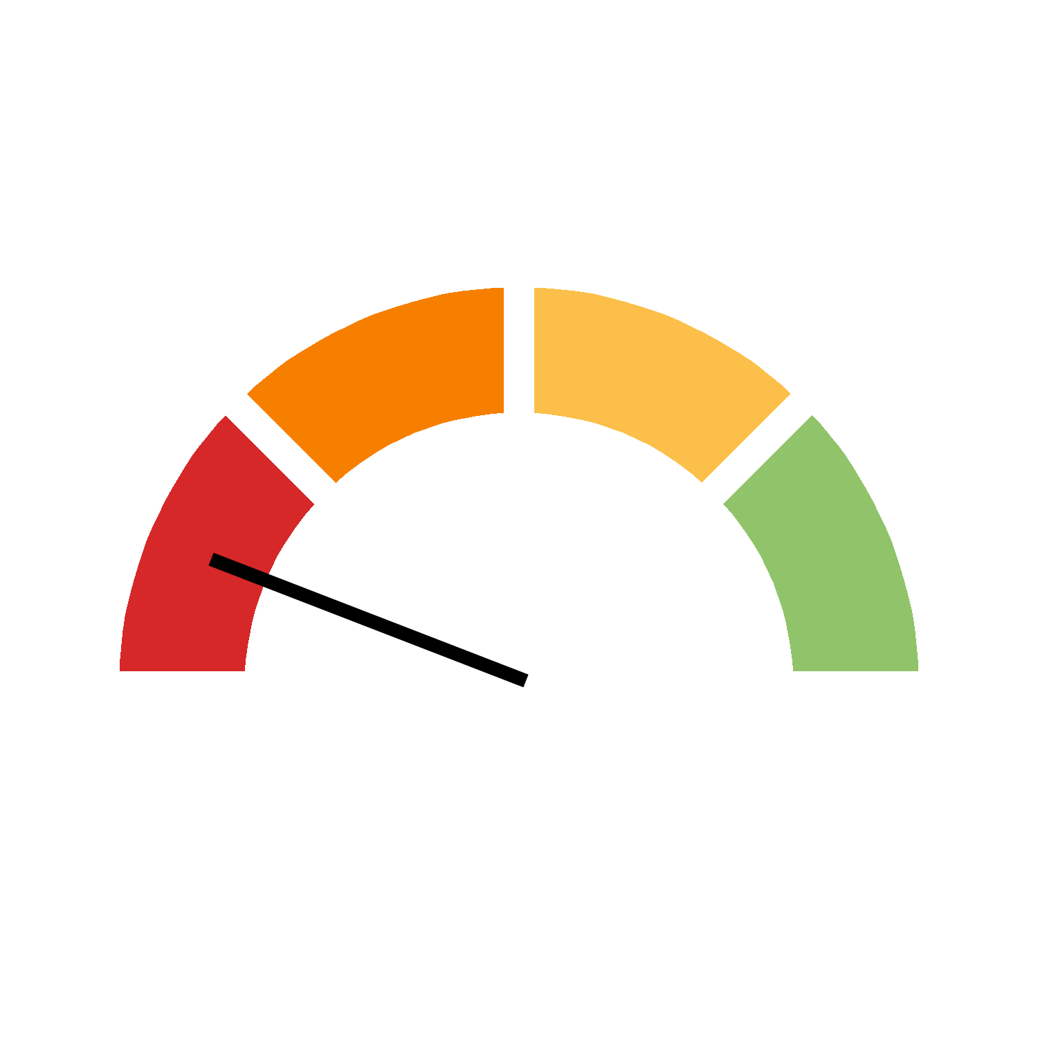
According to the European Environment Agency (EEA), the share of the territory of Bosnia and Herzegovina affected by drought was 3.1% in 2015 and 4.0% in 2024. Substantial annual fluctuations were observed during the period, with the highest reported annual value reaching 46.8% in 2022. Progress is calculated using the ten-year average, which smooths annual fluctuations and helps assess the longer-term trend. Annual values show the changes recorded in individual years. |
| National context and objectives |
No specific quantitative national target for the area of ecosystems affected by drought has been established in the reviewed sources for Bosnia and Herzegovina. Long-term priorities include strengthening resilience to climate variability and climate change, reducing ecosystem vulnerability and improving drought adaptation measures in line with relevant strategic documents. |
Download source data for disaggregations (.csv)
No headline data available
| Indicator description |
The indicator shows the area and share of territory affected by drought by monitoring negative anomalies in vegetation productivity in areas with severe soil moisture deficits during the growing season. It covers agricultural drought, where insufficient precipitation leads to reduced vegetation productivity. |
|---|---|
| Data source and methodology |
The indicator is part of the European Union SDG indicator set and is used to monitor progress towards Sustainable Development Goal 15, which concerns the protection, restoration and sustainable use of terrestrial ecosystems. It helps assess drought impacts on vegetation and ecosystems. |
| Coverage and comparability |
The data are based on satellite monitoring of vegetation productivity and soil moisture indicators, using data from the Copernicus Land Monitoring Services and the European Commission Joint Research Centre’s European Drought Observatory. The indicator is expressed in square kilometres and as a percentage of the total area of a country. |
| EU context and objectives |
Through its soil protection and climate adaptation policies, the European Union aims to improve soil health, ecosystem resilience and sustainable land management. The EU Soil Strategy for 2030 sets the objective of achieving no net land take by 2050. This objective concerns land take and is not a specific quantitative target for the area affected by drought. |
Source 1
| Organisation |
European Environment Agency |
|---|---|
| Link to data source | Link opens in a new window |